Data Catalog
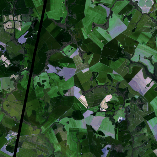
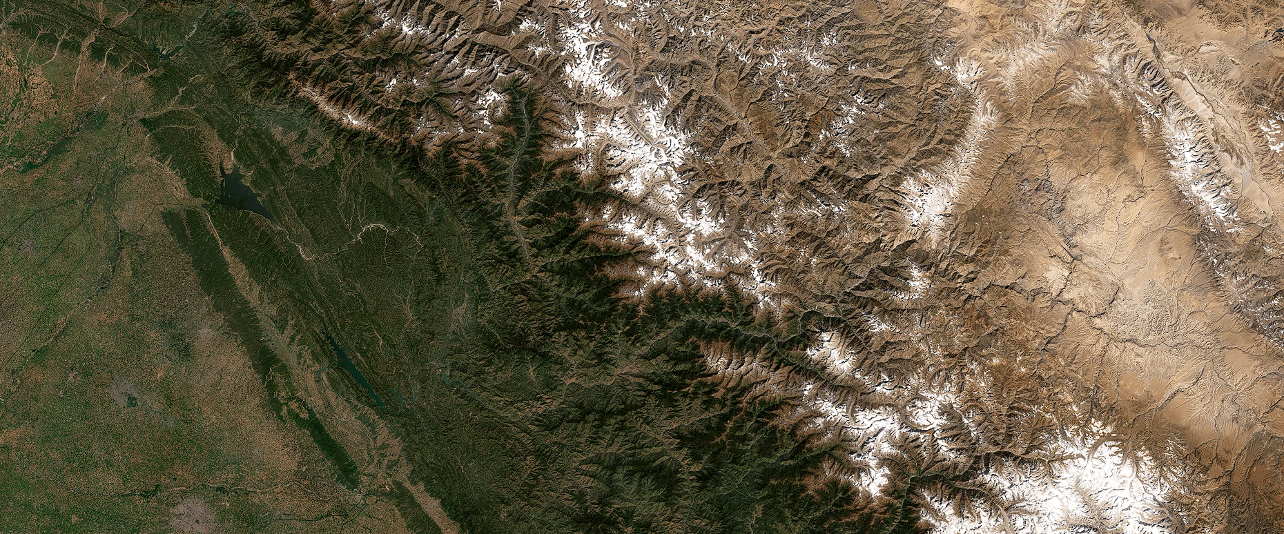
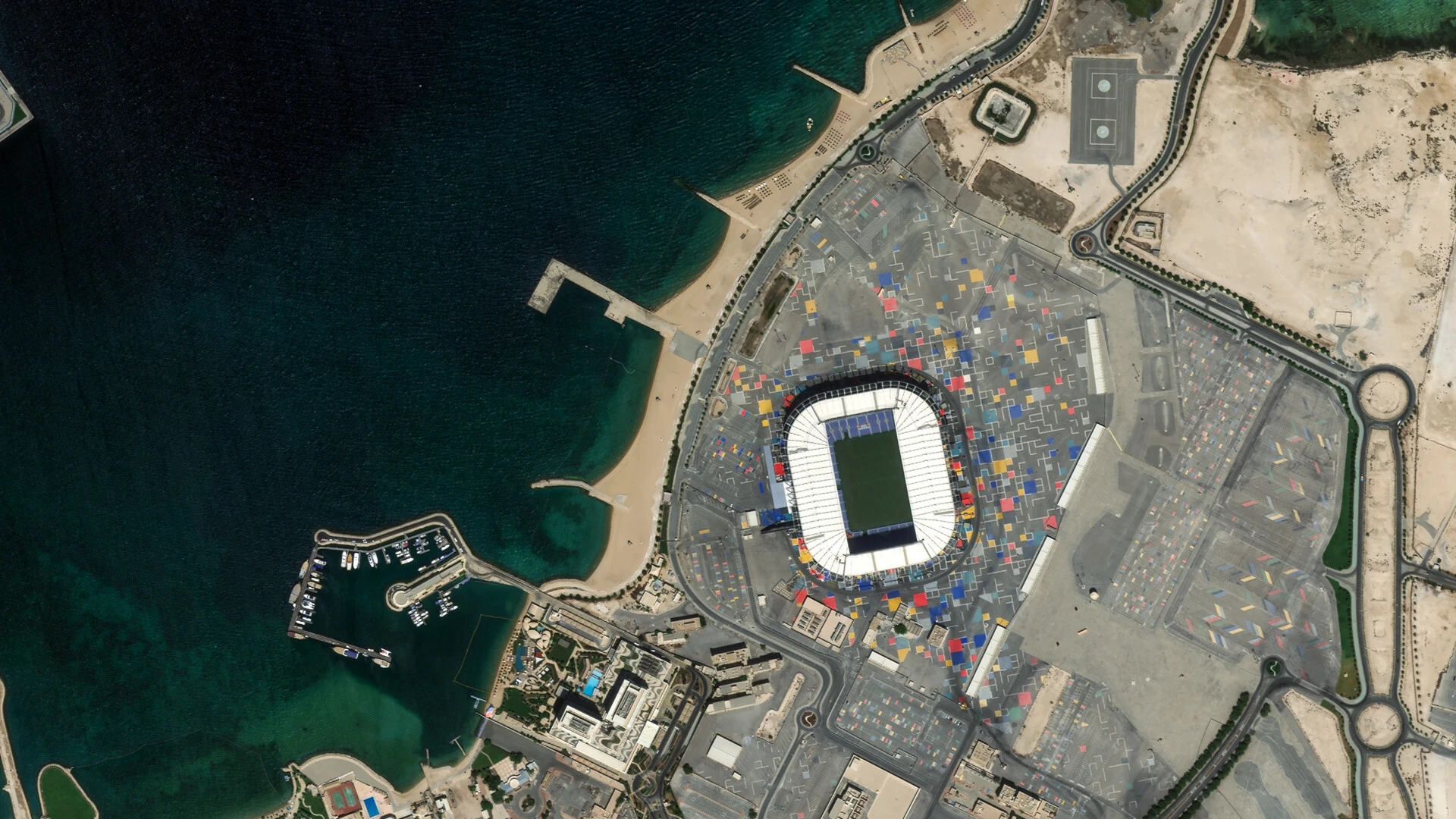
Planet Imagery
Learn about Planet’s constellations and explore high-resolution, frequently updated satellite imagery for monitoring and analysis.
Analysis-Ready PlanetScope
Information about Analysis-Ready PlanetScope
Mosaics
Information about Mosaics
Pelican
Information about the Pelican Constellation
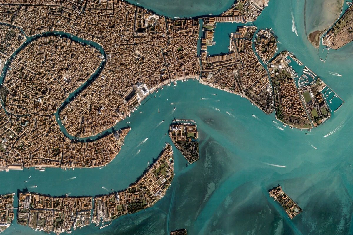
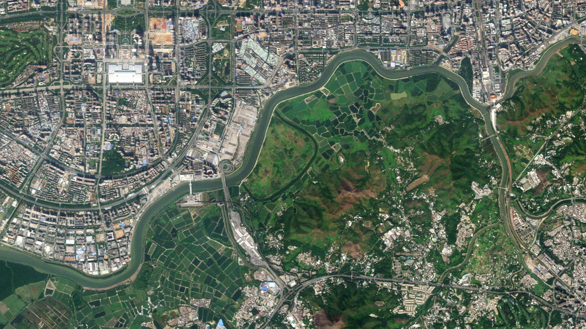
PlanetScope
Information about the PlanetScope Constellation
RapidEye
Information about the RapidEye Constellation

SkySat
Information about the SkySat Constellation
Tanager
Information about the Tanager Constellation

Usable Data Mask
Information about UDM data
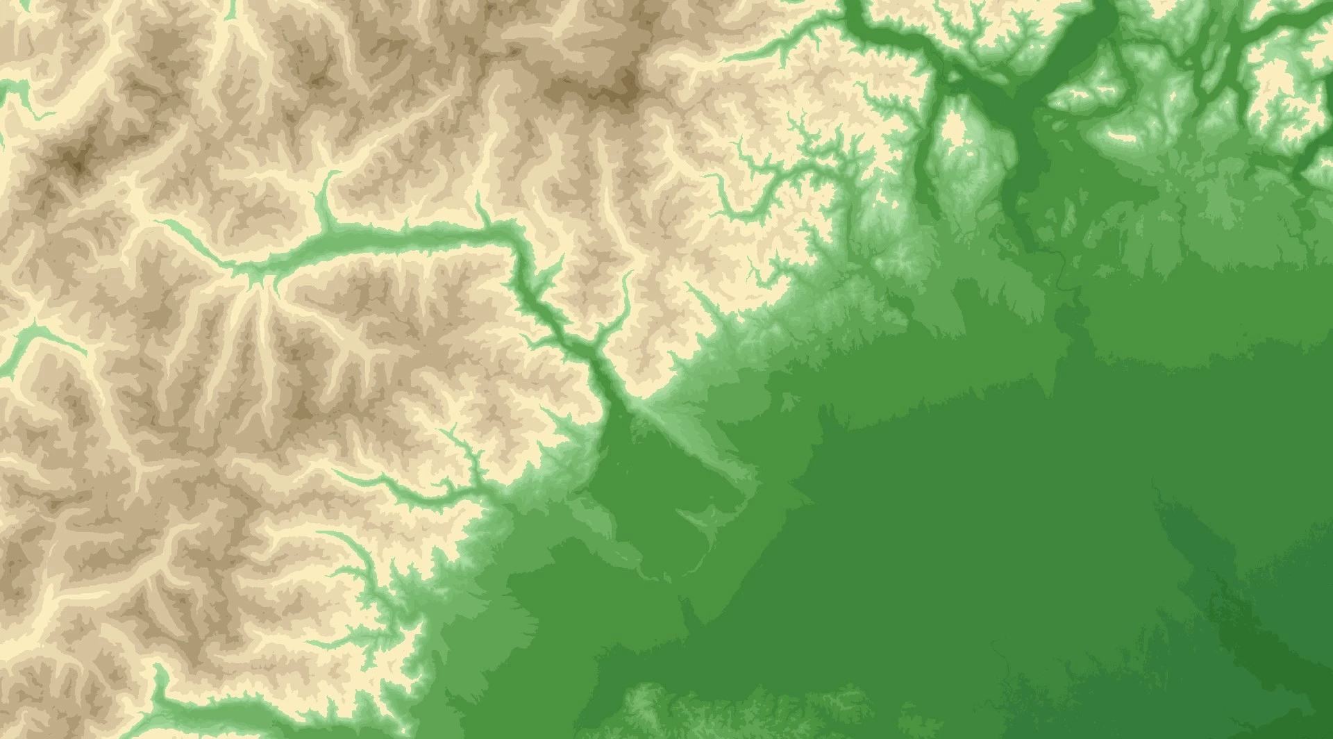
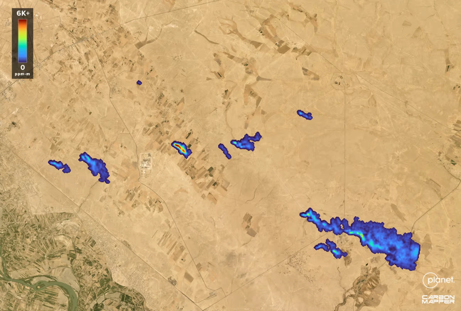
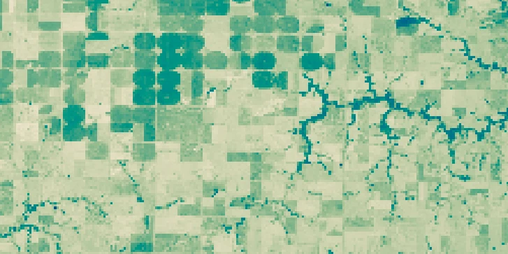
Planetary Variables
Discover how Planetary Variables transform satellite data into actionable insights with analysis-ready environmental and surface change metrics.
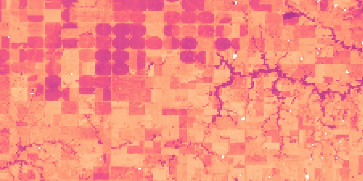
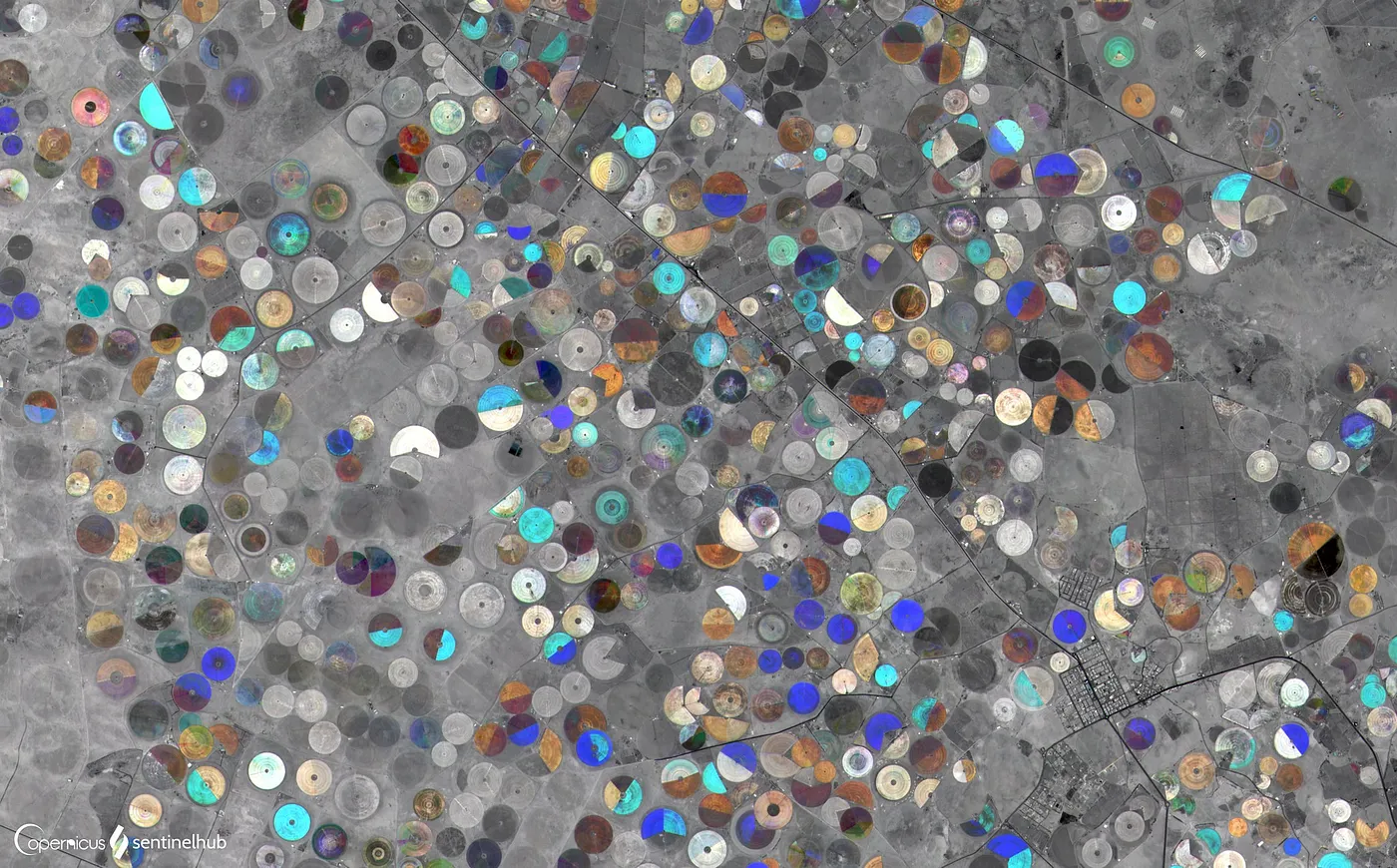
Crop Biomass
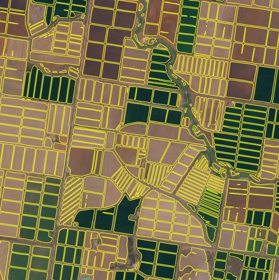
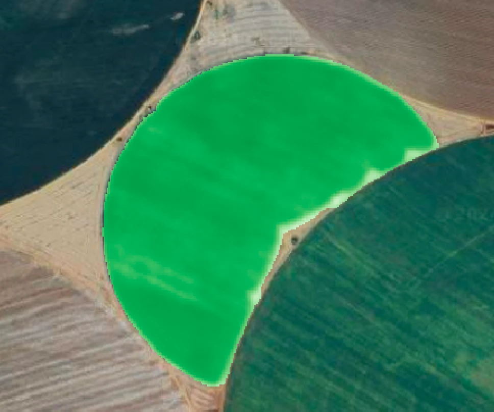
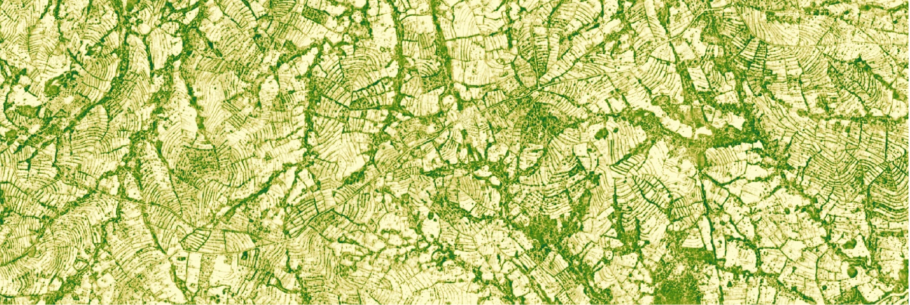
Field Boundaries
A set of polygons that represents the boundaries of agricultural fields.
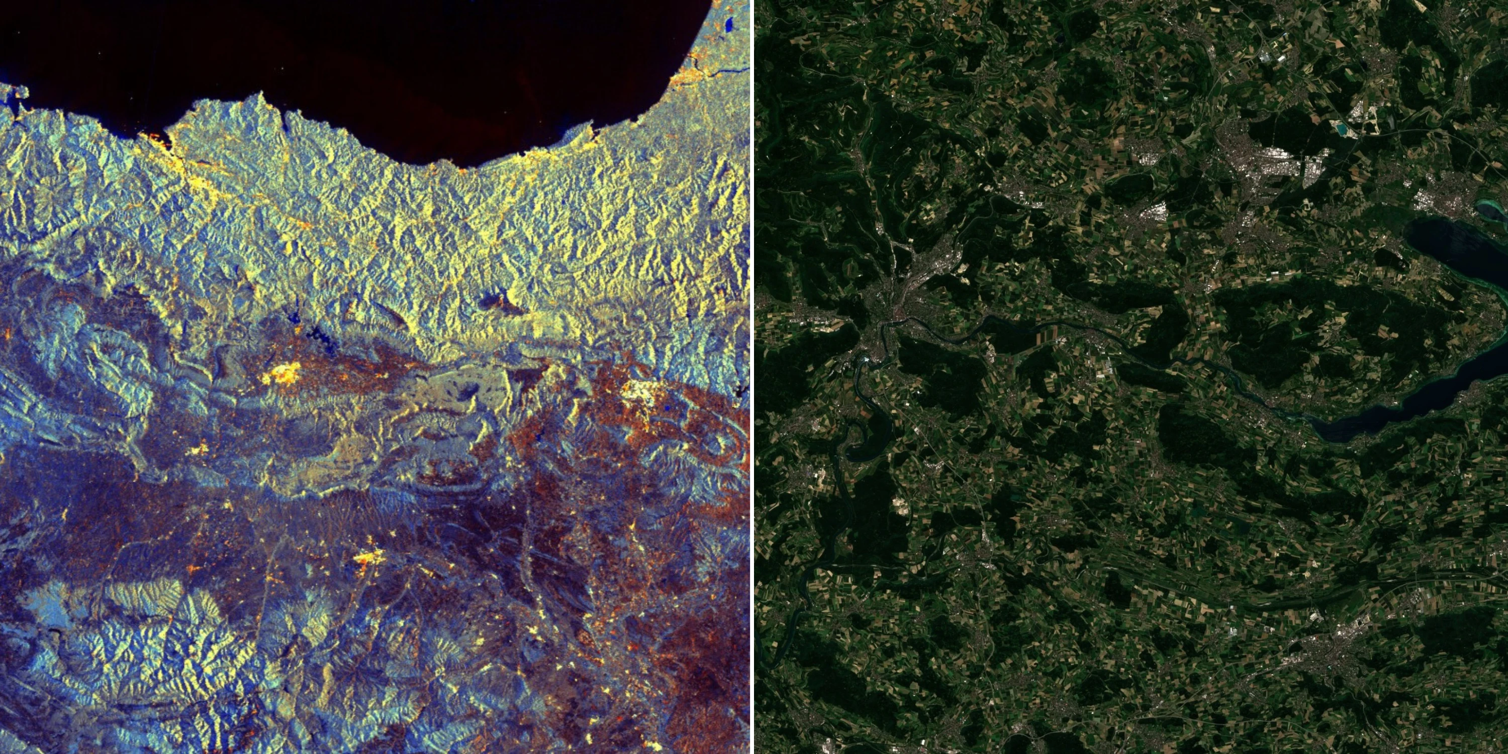
Forest Carbon Diligence
Data on forest carbon in 30m resolution.
Forest Carbon Monitoring
Data on forest carbon in 3m resolution.
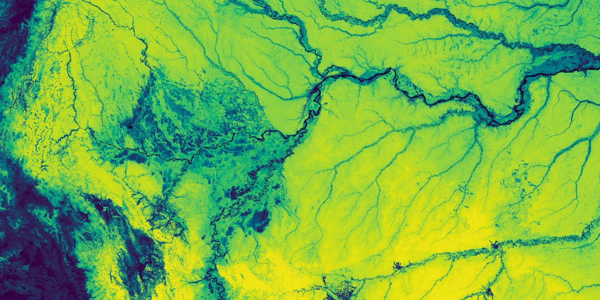
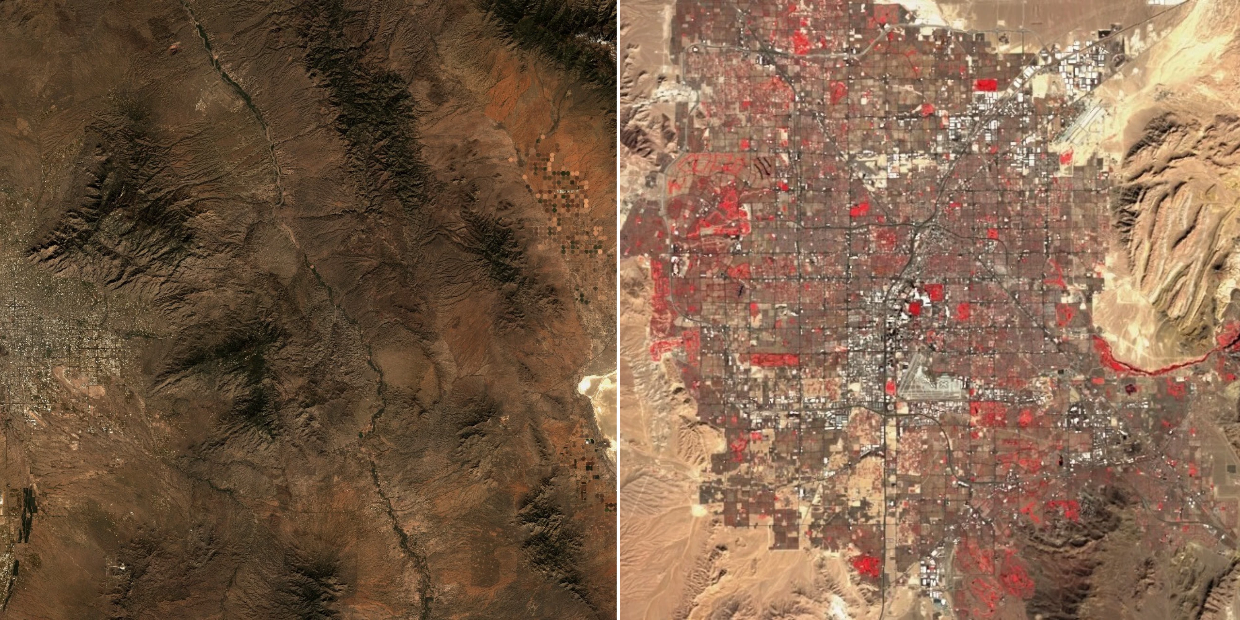
Land Surface Temperature
Soil Water Content
Analytic Feeds
Access automated analytics delivered as a feed, with event-based results you can use to monitor activity and track change over time.
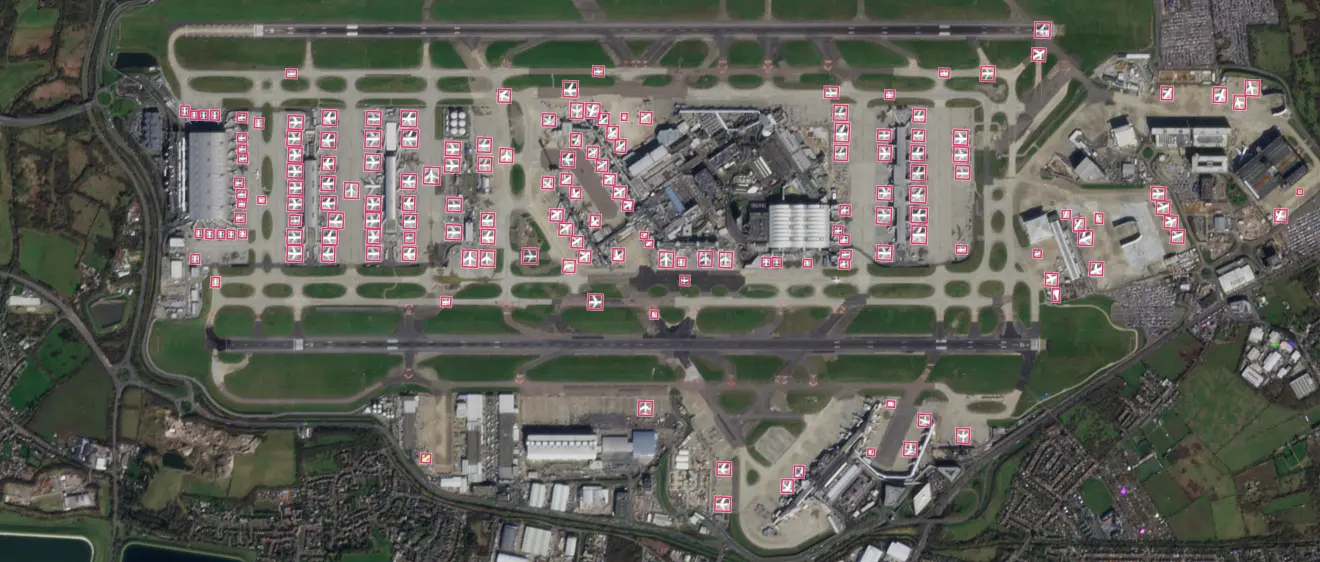
Aircraft Detection
Detect and monitor aircraft on airfields and tarmacs.
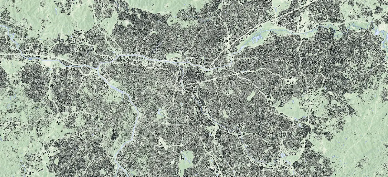
Road & Building Change Detection
Detect changes in roads and buildings infrastructure.
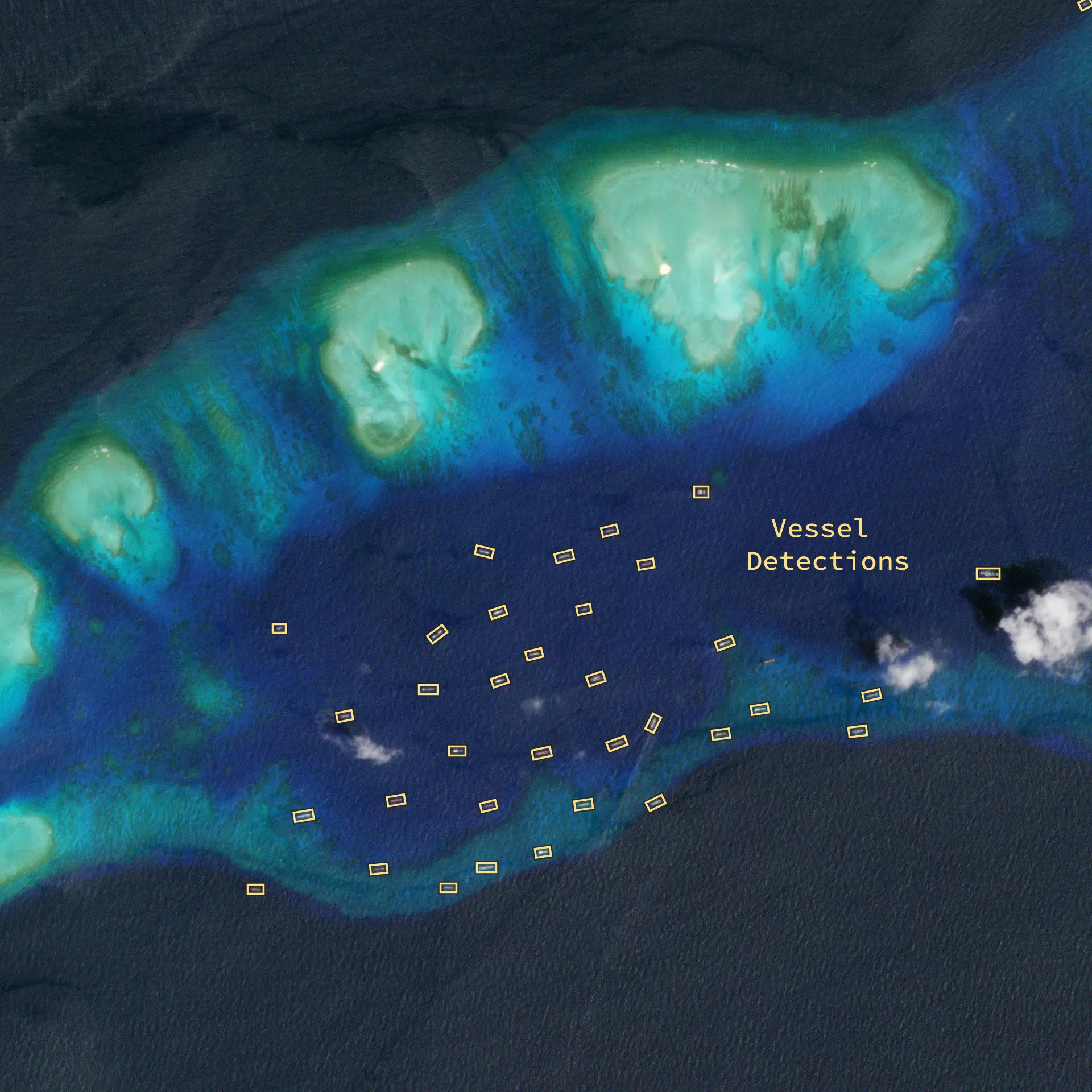
Vessel Detection
Detect and monitor vessel over maritime areas.
Area Monitoring
Sentinel Hub is a multi-spectral, temporal satellite imagery service for real-time processing of large remote sensing datasets.
Public Data
Access a curated collection of public datasets from missions like Copernicus, USGS, & NASA, including Sentinel, Landsat, MODIS, and Digital Elevation Models.
Copernicus Imagery
USGS & NASA Imagery