Forest Carbon Diligence
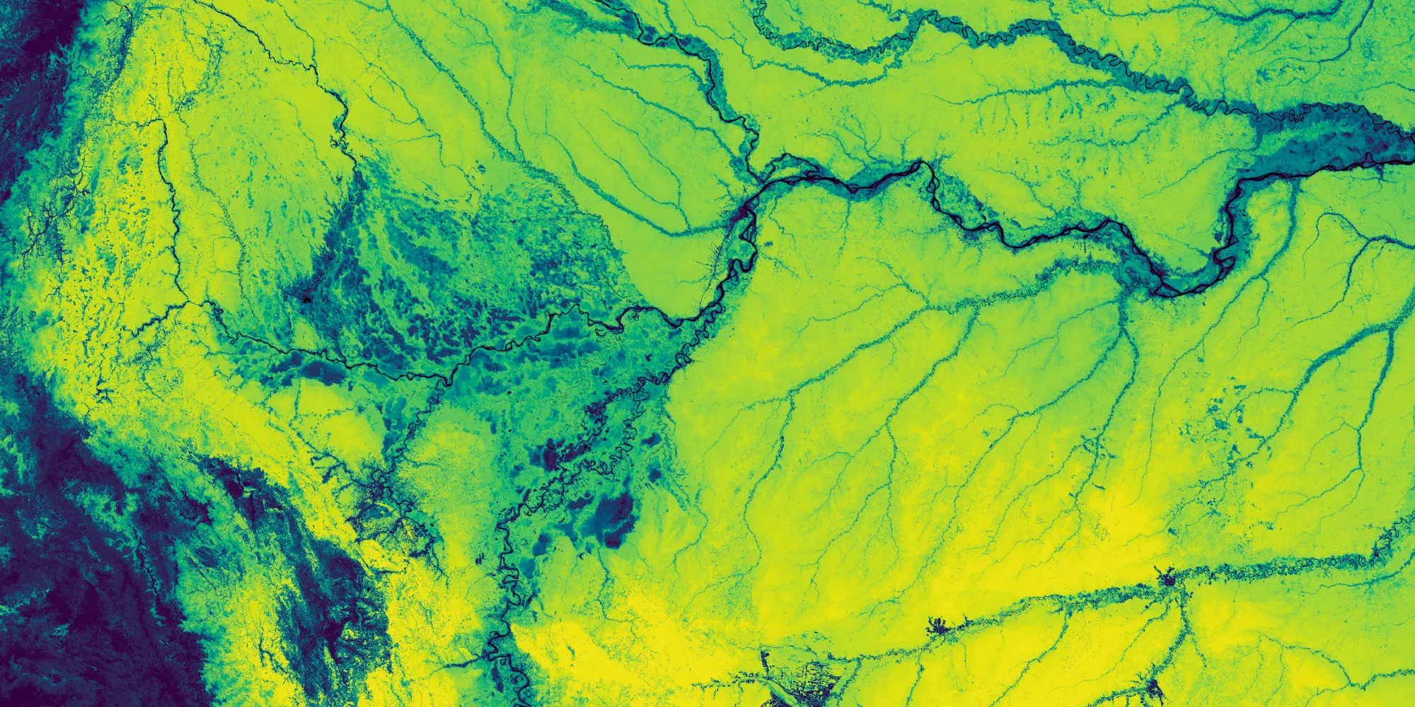
The Forest Carbon Diligence product is composed of a bundle of data resources: Canopy Height, Canopy Cover, and Aboveground Live Carbon at 30-meter spatial resolution. These data resources are produced annually over the entire landmass of the Earth (between 75° N and 60° S). We use an extensive library of airborne LiDAR to train deep learning models to predict canopy height and canopy cover from satellite imagery. We use these predictions paired with 11 million spaceborne lidar (GEDI) footprints to train a model to estimate aboveground live carbon. The archive currently extends back to 2013. See the Technical Specification for more details.
Basic Facts
| Property | Info |
|---|---|
| Spatial resolution | 30 m |
| Sensor/Input Data | Airborne LiDAR, LiDAR (GEDI), Landsat 8, Sentinel 2, ALOS-PALSAR-2, Wood density, Digital Elevation Model (DEM) |
| Revisit time | Annual |
| Spatial coverage | Global |
| Data availability | Global since 2013 |
| Available measurements | Canopy Height, Canopy Cover, and Aboveground Live Carbon |
| Common usage/purpose | Planet's Forest Carbon Diligence products quantify—globally and annually—how much carbon is stored in trees, the area occupied by trees, and how tall they are. |
New Forest Carbon Diligence data is released mid year, depending on the release of ALOS PALSAR data. See the changelog for the latest releases and to stay notified of new releases.
Use Cases
Forest Carbon Projects - Forest Carbon Diligence enables the quantification of carbon stocks and forest area over time to accurately quantify losses and gains. The accuracy is comparable to airborne approaches but the data is orders of magnitude less expensive while being globally available, providing a cost-effective solution for comprehensive monitoring. The high precision, accuracy, and granularity offered by the Forest Carbon Diligence provides an objective foundation for identifying and implementing improvements in carbon initiatives.
Deforestation Monitoring for Supply Chains - Forest Carbon Diligence data provides comprehensive monitoring by quantifying deforestation on a high-frequency cadence. Stakeholders can report on their supply chains to forests globally with unprecedented granularity and confidence. In the context of the EU Deforestation Regulation (EUDR), the Forest Carbon Diligence dataset offers more precise data, aligning with the regulation’s focus on defining deforestation boundaries and providing crucial context regarding forest degradation and carbon loss.
API Access Information
| API | Available | Notes |
|---|---|---|
| Data API | ❌ | |
| Orders API | ❌ | |
| Subscriptions API | ✅ | |
| Analytics API | ❌ | |
| Basemaps API | ❌ |
Subscriptions Access
Canopy Height 30m
Canopy Cover 30m
Aboveground Carbon Density 30m
For each request you make using the Subscriptions API, you'll get a dataset that includes forest carbon estimations for the specified TOI and AOI.
For more information on the Subscriptions API and code samples, see the API documentation.
Subscriptions Time of Interest
The table below provides an example of the temporal periods and the date tags associated with Forest Carbon Diligence data. When creating a subscription, the 'start_time' must be set to the date tag or earlier, while the 'end_time' must be set to a date after the date tag.
| Year | Start | End | Date Tag |
|---|---|---|---|
| 2023 | 2023-01-01 | 2023-12-31 | 2023-01-01T00:00:00Z |
Example Workflows
Below are links to a series of Python workflows that highlight ways you can access and analyze the Forest Carbon Diligence data.
Analyze Historical Trends Without Downloading Data
This workflow walks you through how to create a subscription with the Subscriptions API, deliver the data to a cloud bucket, and then retrieve and analyze the data directly from the cloud (for example, without having to download it locally).
Mapping Forest Cover Change via Planet Insights Platform
This workflow demonstrates how to map changes in forest cover between two dates based on the Forest Carbon Diligence product using the Processing API.
Additional Resources
Get the details in the Forest Carbon Diligence Technical Specification
Get Started with Planet’s Forest Carbon Planetary Variable product for: global tree height, canopy cover and carbon raster.
Visit our Guides page to find related Jupyter Notebooks for hands-on learning.
Learn more about the Planet Subscriptions API to obtain Forest Carbon data.