Analysis-Ready PlanetScope
About Analysis-Ready PlanetScope
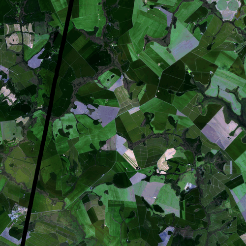
This product includes derived imagery from PlanetScope sensors.
Analysis-Ready PlanetScope combines data from the three available PlanetScope sensors (Dove Classic, Dove-R, and SuperDove) while enhancing temporal and spatial consistency with trusted, third-party data sources (Landsat, Sentinel-2, MODIS, VIIRS). This is accomplished with a proprietary algorithm that creates pre-processed, harmonized, and spatially consistent near-daily stacks of images that enable time-series analysis and machine learning applications. It delivers four surface reflectance bands: blue, green, red, and near-infrared.
The earliest Analysis-Ready PlanetScope imagery is available on January 01, 2017. The product is produced on demand when a subscription is initiated.
Product Overview
Planet offers Analysis-Ready PlanetScope (ARPS) imagery as a 3 m orthorectified (corrected for terrain distortions) surface reflectance product (ARP-SR). The data is stored in 16-bit integer format (with a multiplication factor of 10,000) as cloud-optimized geotiffs compressed using LZW compression. During processing and harmonization, 4-band PS TOA Reflectance (PS-TOAR) (converted from the radiances) are transformed into surface reflectances, ensuring radiometric consistency with FORCE-processed Sentinel-2 and Landsat. As a result, the spectral bands and spectral response functions of ARPS data will be equivalent to the blue (B2), green (B3), red (B4), and narrow NIR (B8a) bands of Sentinel-2 (ESA 2024). The surface reflectance data represent Normalized BRDF Adjusted Reflectances (NBAR) as the Landsat 8/9 and Sentinel-2 data used for cross-calibration have been normalized to the nadir view. Enhanced geometric performance includes temporal positional accuracy of <4m RMSE PCTL90.
The surface reflectance product is accompanied by a Quality Assurance product (ARP-QA) in GeoTIFF format. The QA product is a 2-layer thematic raster using the same spatial grid as the corresponding Analysis-Ready PlanetScope spectral data. Layer 1, Cloud and shadow mask, contains information denoting usable data using seven classifications that allow users to remove pixels that are not useful after they download the image. Layer 2, Pixel provenance has integers that can be mapped to PlanetScope scene IDs using the information in the QA raster's metadata header.
Analysis-Ready PlanetScope products are projected in the UTM zone intersected by their extent using the WGS-84 horizontal datum.
Available IDs
Analysis-Ready PlanetScope can be requested using the Subscriptions API. The following products can be requested with the associated ID. Please note that at this time, Analysis-Ready PlanetScope does not support MultiPolygon geometry. Subscriptions can only be created using Polygon geometry. For more details on how to subscribe to Analysis-Ready PlanetScope, please visit the Subscriptions API documentation.
Available Bands and Data
This section explains the bands and data which can be set in the evalscript input object. Any string listed in the Name column can be an element of the input.bands array in your evalscript.
Analysis-Ready PlanetScope data is delivered with two assets: surface reflectance (SR) and quality assurance (QA).
| Name | Description | Resolution |
|---|---|---|
| blue | Blue band | 3 m |
| green | Green band | 3 m |
| red | Red band | 3 m |
| nir | Near-infrared band | 3 m |
| cloud_mask | Cloud and shadow mask | 3 m |
| scene_mask | Pixel provenance (maps to PlanetScope scene IDs) | 3 m |
Units
The data values for each band in your evalscript are provided in the units specified below.
Surface reflectance bands are stored as 16-bit integers with a multiplication factor of 10,000. To convert digital numbers (DN) to reflectance values, use the following formula:
reflectance = DN / 10000
For example, a DN value of 2500 corresponds to a reflectance of 0.25.
| Band | Physical Quantity (units) | Data Type | No Data Value | Typical Range |
|---|---|---|---|---|
| Optical bands (blue, green, red, nir) | Scaled reflectance (unitless) | int16 | 0 | 0 - 4000. Highly reflective pixels can have values up to 10000. |
| cloud_mask | Cloud mask (unitless) | int16 | -999 | 1 - clear 2 - bright cloud 3 - cloud shadows 4 - haze 5 - adjacent clouds or cloud shadows 6 - additional haze or cloud elements 7 - contamination including snow |
| scene_mask | Pixel provenance (unitless) | int16 | -999 | 0 - 1000 |
Examples
For Processing API request examples, including true color, false color, NDVI calculations, and GeoTIFF exports, see Processing API Examples - ARPS.