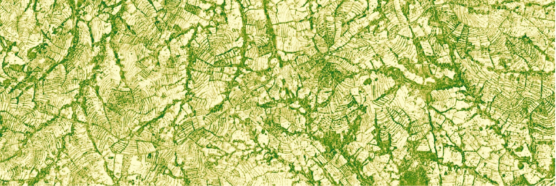
Forest Carbon Monitoring

The Forest Carbon Monitoring product is composed of a bundle of data resources: Canopy Height, Canopy Cover, and Aboveground Live Carbon at 3-meter spatial resolution. These data resources are produced quarterly over the entire landmass of the Earth (between 75° N and 60° S). The archive currently extends back to 2021. See the Technical Specification for more details.
Basic Facts
| Property | Info |
|---|---|
| Spatial resolution | 3 m |
| Sensor/Input Data | Airborne LiDAR, LiDAR (GEDI), PlanetScope surface reflectance, Forest Carbon Diligence, Digital Elevation Model (DEM) |
| Revisit time | Quarterly |
| Spatial coverage | Global |
| Data availability | Q1 2021 - present |
| Available measurements | Canopy Height, Canopy Cover, and Aboveground Live Carbon |
| Common usage/purpose | Planet's Forest Carbon Monitoring products provides timely, operational, near-tree-scale insights into global changes in canopy cover, canopy height, and above carbon density. |
New Forest Carbon Monitoring data are released quarterly (March, June, September, December) at the end of the month. Please see the changelog for the latest releases and to stay notified of new releases.
Use Cases
Reforestation Monitoring - Forest Carbon Monitoring provides comprehensive data to identify and analyze reforestation and restoration projects. These efforts help trap carbon, support sustainable harvesting efforts, and may provide local economic benefits through tourism, public funding, or renewable resources. Stakeholders can use Forest Carbon to identify potential reforestation sites and monitor, analyze, and report on ongoing projects.
Degradation Monitoring - Detect single tree selective harvest or other small disturbances with our 3m resolution product. Brings powerful monitoring capacity to REDD+ and improved forest management (IFM) based carbon projects. With updates every quarter, you and your stakeholders will no longer have to wait years to know if a project is on track.
API Access Information
| API | Available | Notes |
|---|---|---|
| Data API | ❌ | |
| Orders API | ❌ | |
| Subscriptions API | ✅ |
Subscriptions Access
Canopy Height 3m
Canopy Cover 3m
Aboveground Carbon Density 3m
For each request you make using the Subscriptions API, you'll get a dataset that includes forest carbon estimations for the specified TOI and AOI.
For more information on the Subscriptions API and code samples, see the API documentation.
Subscriptions Time of Interest
The table below provides an example of the temporal periods and the date tags associated with Forest Carbon Monitoring data. When creating a subscription, the 'start_time' must be set to the date tag or earlier, while the 'end_time' must be set to a date after the date tag.
| Season | Quarter | Start | End | Date Tag |
|---|---|---|---|---|
| Winter | Q1 2024 | 2023-12-21 | 2024-03-20 | 2023-12-21T00:00:00Z |
| Spring | Q2 2024 | 2024-03-21 | 2024-06-20 | 2024-03-21T00:00:00Z |
| Summer | Q3 2024 | 2024-06-21 | 2024-09-20 | 2024-06-21T00:00:00Z |
| Fall | Q4 2024 | 2024-09-21 | 2024-12-20 | 2024-09-21T00:00:00Z |
Technical Specification
Get the details in the Forest Carbon Monitoring Technical Specification
Planet University
Get Started with Planet’s Forest Carbon Planetary Variable product for: global tree height, canopy cover and carbon raster.
Guides
Visit our Guides page to find a collection of Jupyter Notebooks for hands-on learning.
APIs
Learn more about the Planet Subscriptions API to obtain Forest Carbon data.