Visual Mosaics
PlanetScope Mosaics are generated by querying PlanetScope scenes that overlap a specific area of interest within a designated time frame. These scenes are then ranked based on quality metrics metadata, such as the presence of clouds and haze, with the highest quality scenes placed at the top. Using a "best-on-top" algorithm, the highest quality scenes are efficiently composited to create the final mosaic.
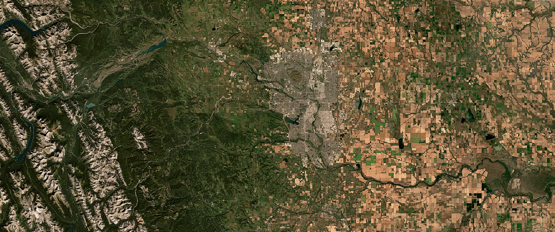
PlanetScope Visual Mosaics (Zoom Level 15 – 4.77 meter cell size at the equator) are optimized to minimize the effects of cloud cover, haze, and topographic variations. These mosaics are generated using the visual asset type, and are color-corrected and designed for human viewing and computer vision analytics, enabling users to monitor landscape and infrastructure changes over time and space.
SkySat Visual Mosaics (Zoom Level 18 – 0.596 meter cell size at the equator) can be generated post SkySat tasking over a custom area and time of interest. SkySat Visual Mosaics are generated using ortho_visual asset type. In addition, SkySat Visual Mosaics may be purchased as an add-on to our Flexible Tasking product.
For more details please check the Mosaics Webpage and the Mosaic Product Technical Specification document.
Visual Mosaics Product Details
| Source imagery | Download bands | Streaming bands | Monitoring frequency | Zoom level | Color target |
|---|---|---|---|---|---|
| PlanetScope and/or RapidEye* Visual Product visual asset | RGB | RGB | Weekly Monthly Quarterly | 15 | MODIS |
SkySat Visual Product ortho_visual asset | RGB | RGB | Weekly Monthly Quarterly Custom | 18 | PlanetScope (normalized to MODIS) None (non-normalized) |
*RapidEye Imagery is used in Global Mosaics for dates prior to February 2020.