Forest Carbon Diligence Sandbox Data
This Planet Sandbox Data collection for Forest Carbon Diligence provides sample data over specific areas and times of interest. The data is available to paid and trial accounts that include processing units and is available under the CC-BY-NC license. Learn more about Planet Sandbox Data.
Data Collections Metadata
| Source ID | Collection Name | Collection ID | Time Range |
|---|---|---|---|
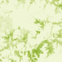
| CANOPY_HEIGHT_v1.1.0_30 | Planet Sandbox Data - PV FCD Canopy Height | BYOC-f3312c82-edea-42a1-8c9d-ada86ddcc857 | 2013-01-01 - 2017-01-01 |
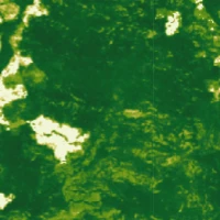
| CANOPY_COVER_v1.1.0_30 | Planet Sandbox Data - PV FCD Canopy Cover | BYOC-e3d2a21c-cb75-4311-86ac-024385c85b9c | 2013-01-01 - 2017-01-01 |
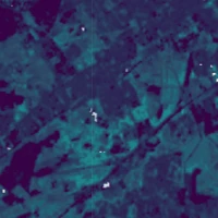
| ABOVEGROUND_CARBON_DENSITY_v1.1.0_30 | Planet Sandbox Data - PV FCD Aboveground Carbon | BYOC-cc31cada-80d8-46fe-a746-43ac2f87b5da | 2013-01-01 - 2017-01-01 |
Planet Sandbox Data Areas
This collection includes 4 sandbox regions. Download the GeoJSON file below the map for exact polygon boundaries.
View all 4 regions
| Location | Area (km²) | Time Range | Center (lat, lon) |
|---|---|---|---|
| Pará, North Region, Brazil | 568 | 2015-01-01 – 2017-01-01 | -6.77, -52.37 |
| Iowa, United States | 581 | 2015-01-01 – 2017-01-01 | 41.30, -93.95 |
| Western Australia, Australia | 587 | 2015-01-01 – 2017-01-01 | -31.92, 116.15 |
| Nouvelle-Aquitaine, Metropolitan France, France | 599 | 2015-01-01 – 2017-01-01 | 44.73, -0.68 |
Highlights