Output Formats
For the requests that provide image output, WMS/WMTS/WCS services can generate these output formats:
- image/png - lossless image format for 1 (grayscale) or 3 (RGB) components
- image/jpeg - lossless image format for 1 (grayscale) or 3 (RGB) components, without alpha channel. The quality can be controlled via the QUALITY URL parameter.
- image/tiff - lossless image format for any number of the components.
For more information on how the values are reflected in the output.
Example Requests for Image Formats
To generate the output as jpeg, use the following example. Please replace <INSTANCE_ID> with your own.
https://services.sentinel-hub.com/ogc/wms/<INSTANCE_ID>?SERVICE=WMS&REQUEST=GetMap&SHOWLOGO=false&VERSION=1.3.0&LAYERS=NDVI&MAXCC=20&WIDTH=640&HEIGHT=640&CRS=EPSG:4326&BBOX=46.697956,16.223885,46.699840,16.2276628&FORMAT=image/jpeg
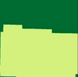
Vector Output 01
Output Vector Formats
For the requests that provide vector output, Sentinel-2 WMS/WMTS/WCS services can generate the following output formats:
- application/x-esri-shape - zip containing shape files
- application/json - GeoJSON file
Both formats return polygons in vector format only in cases when the image does not consist of more than 10 different values. Therefore, this format only works with custom script layers.
Example Requests for Vector Formats
To generate the output as GeoJSON file, follow the example below. Replace <INSTANCE_ID> with your own.
https://services.sentinel-hub.com/ogc/wms/<INSTANCE_ID>?SERVICE=WMS&REQUEST=GetMap&SHOWLOGO=false&VERSION=1.3.0&LAYERS=NDVI&MAXCC=20&WIDTH=640&HEIGHT=640&CRS=EPSG:4326&BBOX=46.697956,16.223885,46.699840,16.2276628&FORMAT=application/json
- JSON
{
  "type": "FeatureCollection",
  "features": [
    {
      "type": "Feature",
      "properties": {
        "COLOR_HEX": "FFFFFF",
        "ID": 0
      },
      "geometry": {
        "type": "MultiPolygon",
        "crs": {
            "type": "name",
            "properties": {
                "name": "urn:ogc:def:crs:OGC::CRS84"
            }
        },
        "coordinates": [[[
            [16.225567302, 46.698948044],
            [16.225567302, 46.6989451],
            [16.225561399, 46.6989451],
            [16.225561399, 46.698942156],
            ...
        ]]]
      }
    },
    ...
  ]
}
To generate the output as x-esri-shape, replace the FORMAT with application/x-esri-shape, which will enable you to obtain the zip containing the shape files.