Public Data
Planet provides access to a curated set of public Earth observation datasets from Copernicus, USGS, and NASA through the Planet Insights Platform.
Public Data Catalog
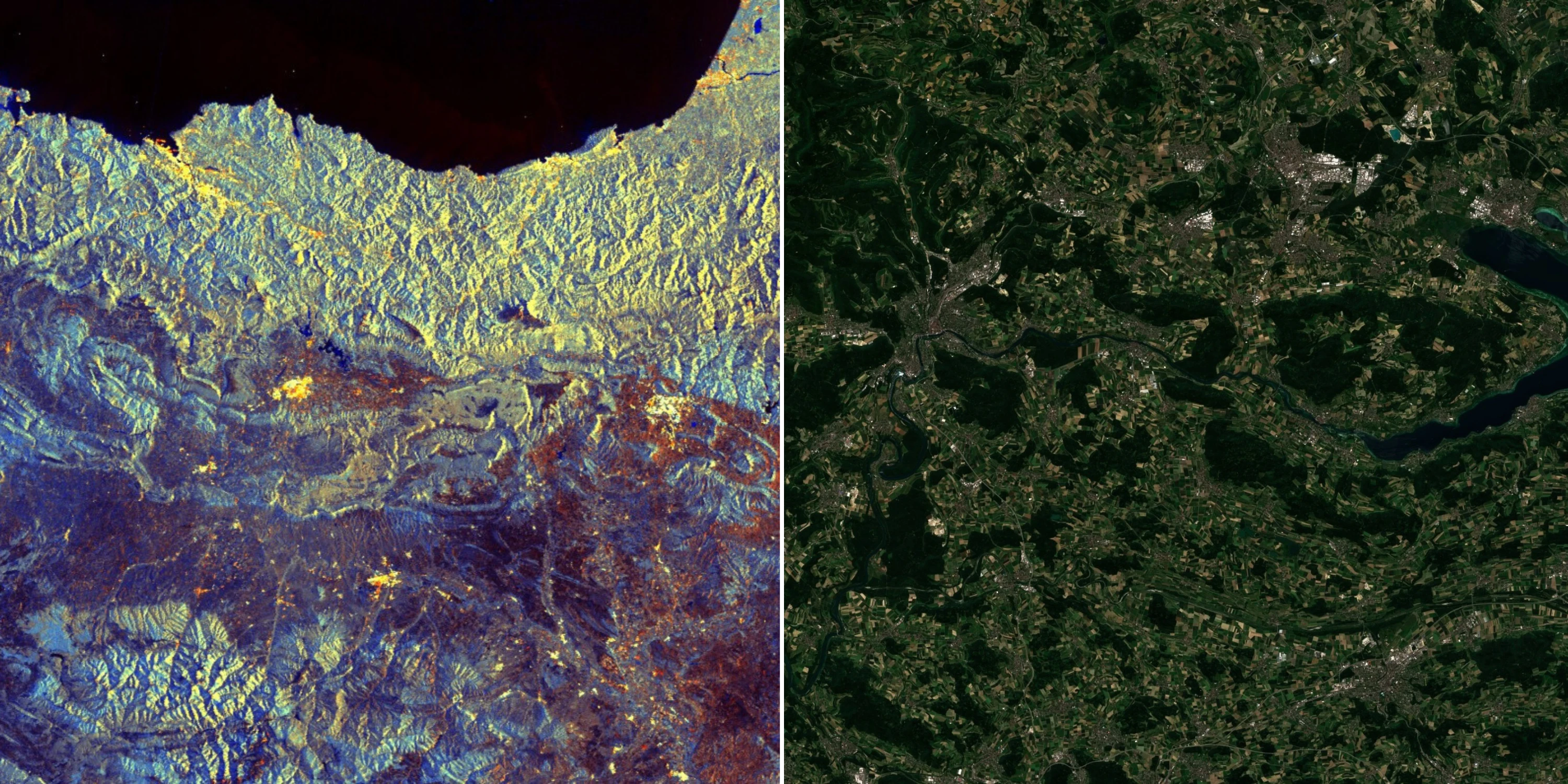
Copernicus Imagery
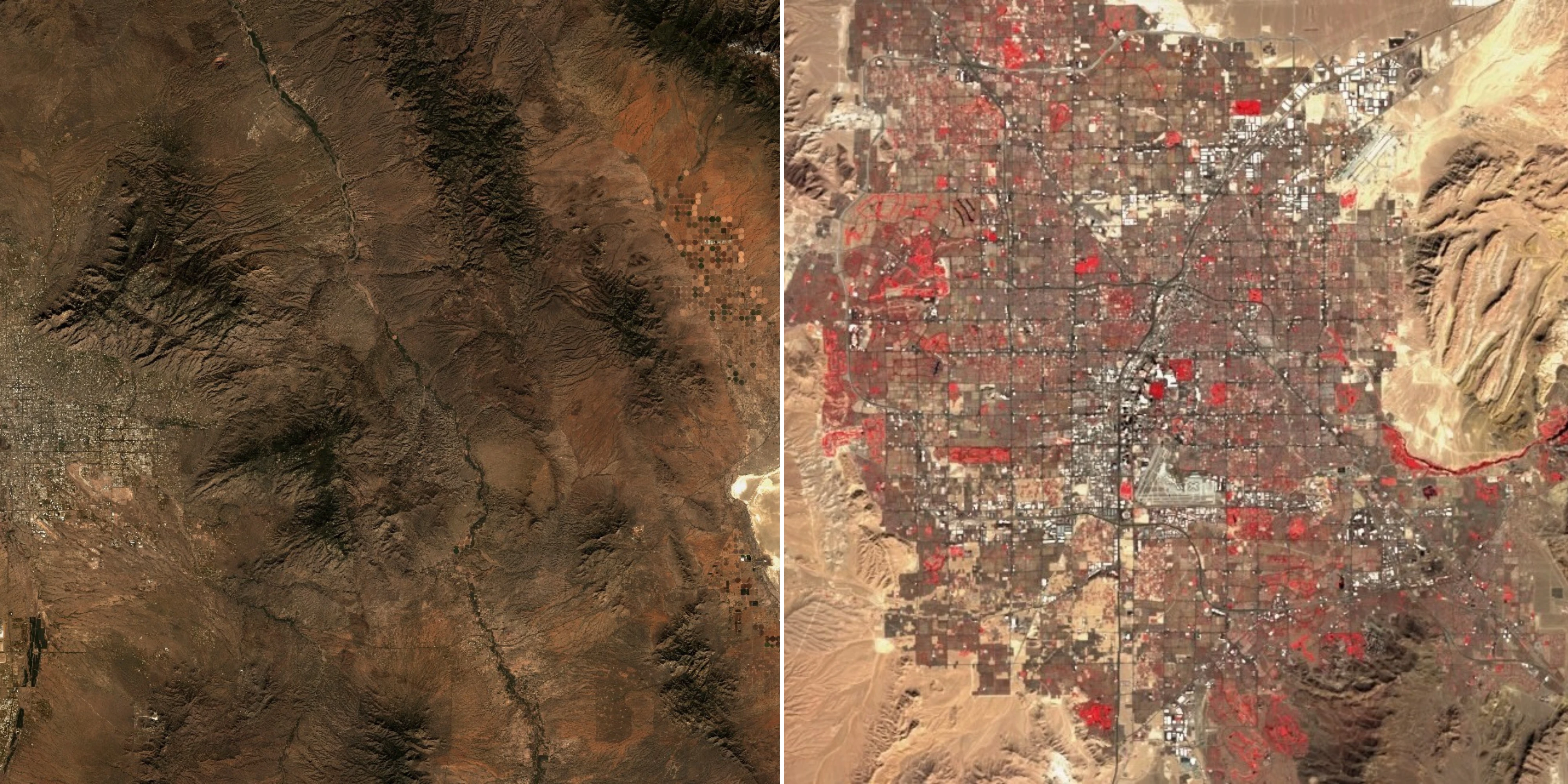
USGS & NASA Imagery
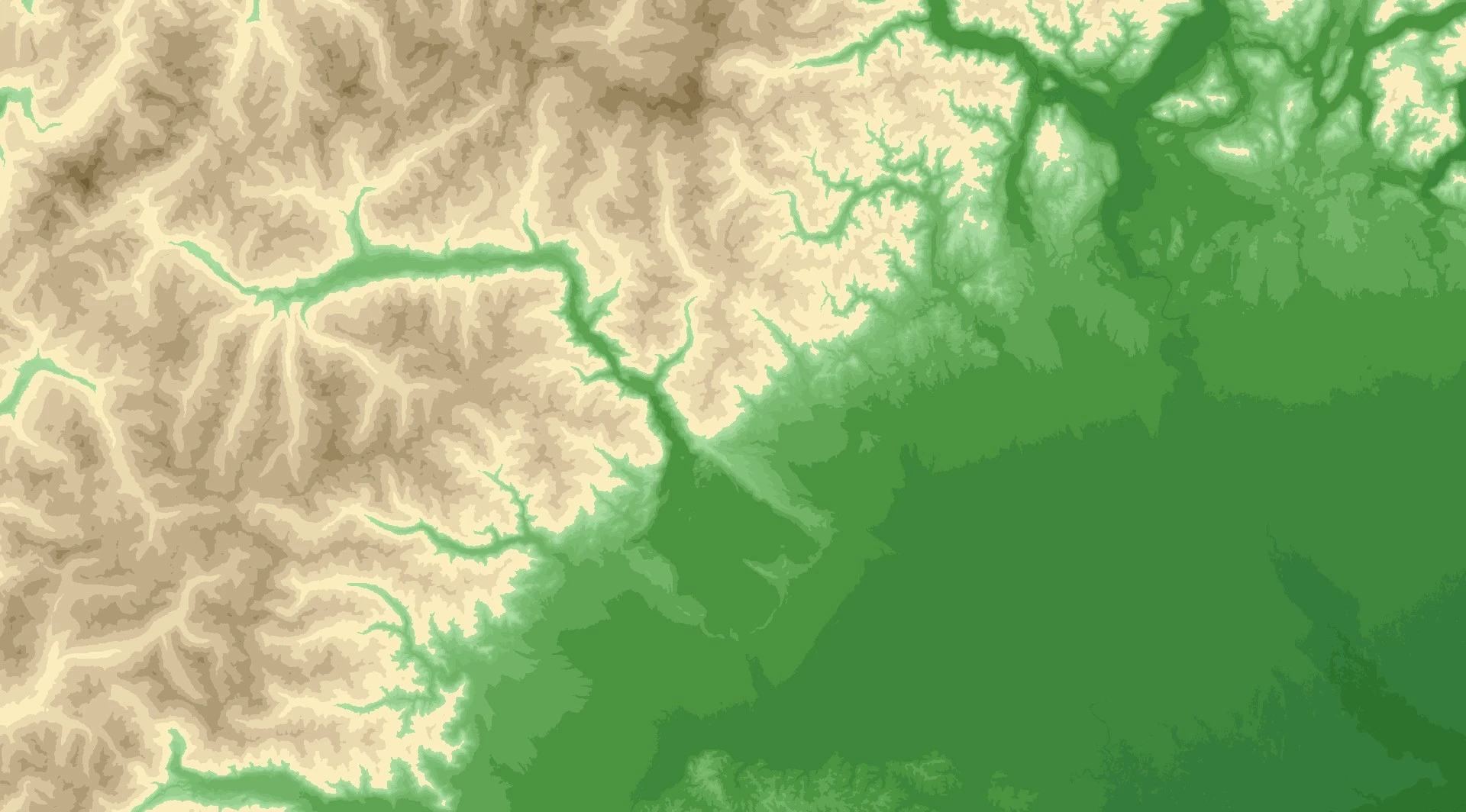
Digital Elevation Model (DEM)
Main Deployments
EU-Central-1 (Frankfurt) Region
API endpoint: services.sentinel-hub.com/api/v1/
| Collection | Description | Coverage |
|---|---|---|
| Sentinel-1 GRD | C-band SAR imagery from the Sentinel-1 mission | Global since January 2017 |
| Sentinel-2 L1C | Multispectral imagery from the Sentinel-2 mission | Global since November 2015 |
| Sentinel-2 L2A | Atmospherically corrected multispectral imagery from Sentinel-2 | Europe since November 2016 Global since January 2017 |
| Digital Elevation Model | Global digital elevation models from Copernicus and Mapzen | Global |
| BYOC | User-provided raster data imported for processing and analysis | Depends on data |
US-West-2 (Oregon) Regions
API endpoint: services-uswest2.sentinel-hub.com/api/v1/
| Collection | Description | Coverage |
|---|---|---|
| Landsat 8 L1 | Multispectral imagery from the Landsat 8 and 9 missions | Global since February 2013 |
| Landsat 8 L2 | Atmospherically corrected multispectral imagery from Landsat 8 and 9 | Global since February 2013 |
| Landsat 7 L1 | Multispectral imagery from the Landsat 7 mission | Global since April 1999 |
| Landsat 7 L2 | Atmospherically corrected multispectral imagery from Landsat 7 | Global since April 1999 |
| Landsat 4-5 TM L1 | Multispectral imagery from the Landsat 4 and 5 missions (TM) | Global from July 1982 to May 2012 |
| Landsat 4-5 TM L2 | Atmospherically corrected multispectral imagery from Landsat 4 and 5 (TM) | Global from July 1982 to May 2012 |
| Harmonized Landsat Sentinel HLS | Harmonized surface reflectance from Landsat 8–9 OLI and Sentinel-2 MSI sensors | Global since April 2013 |
| Digital Elevation Model | Digital elevation model data by Mapzen | Global |
| BYOC | User-provided raster data imported for processing and analysis | Depends on data |
note
For consistency of the documentation all further examples will be based on services.sentinel-hub.com/api/ end-point. To access Landsat or DEM data, you can simply replace “services” with “services-uswest2” to get the applicable results.